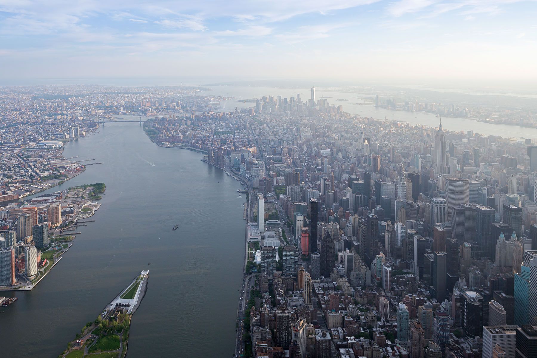
East Side Coastal Resiliency – BIG
The East Side Coastal Resiliency Project (ESCR) has reached a major milestone with the opening of key areas of East River Park. Conceived as a “parkipelago” of linked waterfront parks, the 2.25-mile system combines elevated landscapes with integrated floodwalls, gates, and berms to protect the Lower East Side while creating new public space.
Led by the NYC Department of Design and Construction and designed by BIG, MNLA, ONE Architecture & Urbanism, AKRF, and local residents, the $1.45 billion project spans Montgomery to East 25th Streets. Building on the 2014 BIG U vision, ESCR is engineered to shield more than 110,000 people and critical infrastructure within the FEMA 100-year floodplain from future storms and tidal surges.
As both barrier and park, ESCR introduces courts, lawns, a turf field, water-play areas, nature zones, picnic areas, an amphitheater, an extended esplanade, and new pedestrian bridges at Delancey Street and Corlears Hook Park.
